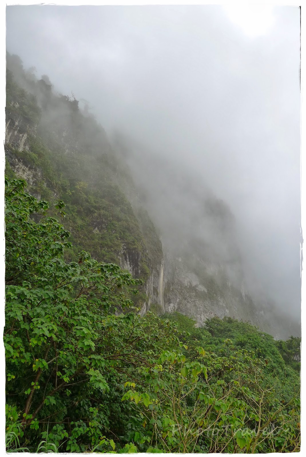
太魯閣國家公園是台灣第四座成立的國家公園,前身為日治時期成立之次高太魯閣國立公園(1937-1945)。戰後為省級風景區,1986年11月12日公告計畫,1986年11月28日成立管理處。位於台灣東部,地跨花蓮縣、臺中市、南投縣三個行政區。園內有台灣第一條東西橫貫公路通過,稱為中橫公路系統。
Taroko Gorge (太魯閣: Tàilǔgé) is an impressive 19-km-long canyon, situated near Taiwan's east coast. The area of the gorge is also identified as Taroko Gorge National Park (太魯閣國家公園;Tàilǔgé gúojiā gōngyuán). The Taroko Gorge is composed mainly metomorphic rocks, such asmarble,gneiss, "schist",etc. The name, Taroko, means the "magnificent and splendid" in the language of Truku, the aboriginal tribe who resides in the area
清水斷崖位於台灣花蓮縣秀林鄉的海岸斷崖,是蘇花公路和仁至崇德路段著名的旅遊景點。日治時期,台灣日日新報社讀者票選為臺灣十二勝之一,當時之斷崖道路的稱呼是從姑姑子斷崖開始,今日仍能隱約在舊和平隧道看到往昔的題字。
Qingshui Cliff (Chinese: 清水斷崖; Hanyu Pinyin: Qīngshuǐ Duànyá; Tongyong Pinyin: Cingshuěi Duànyá; Wade–Giles: Ch'ing1-shui3 Tuan4ya2) is a 21 kilometer length of coastal cliffs averaging 800 meters above sea level in Hualien County, Taiwan.[1] The tallest peak, Qingshui Mountain, rises 2408 meters directly from the Pacific Ocean. The cliff is located at the southern part of the Suhua Highway that connects the counties of Yilan and Hualien in eastern Taiwan. It is considered to be a very scenic area[2] and is the highest coastal cliff in Taiwan.
砂卡礑步道從入口處到三間屋全長約4.5公里,倚傍著砂卡礑溪而行。砂卡礑溪十六公里的流路中,形成峻秀的峽谷,清澈的溪水、美麗的岩石褶皺及蓊鬱的森林;步道沿途過去曾有多個原住民聚落,讓砂卡礑步道兼具景觀生態與人文之美。砂卡礑溪溪床上鋪滿大大小小的壘石,以大理石與片麻岩最多,湛藍湍急的溪水滑過溪床,與溪石合奏出清亮的自然樂音,而溪水也將岩石琢磨得圓滑柔美。褶皺在兩岸山壁和溪中岩石上形成一幅幅抽象壁畫,任人欣賞想像。
砂卡礑步道海拔約六十公尺,屬於陰濕的河谷地形,但植物生態卻呈現出乾濕兩型的特色。坡度較緩的地方,生長高大且層次豐富的林木;坡度較陡的地方,只見低矮的岩生植物,以台灣蘆竹和沿階草居多。茂密的森林,清澈的溪水,提供動物良好的棲息環境,動植物生態豐富,使砂卡礑步道處處展現生機。
砂卡礑步道平緩易行,除了可沿途作自然觀察之外,步道全線亦設置十餘座大小觀景平台,供小憩賞景,還有幾處親水小徑可以直下溪谷,觀察溪流生態及岩石的紋理,聆聽自然美妙的樂音。
The Shakadang Trail, as of October 2013, was only open to the 5D Cabin, and takes about 45 minutes going one way at a moderate pace. It follows the path of the Shakadang River below, which is extraordinarily pristine and wonderful to behold. This path is well worth your time. Note: If you decide to take the Taroko Shuttle Bus, the Shakadang Trail is only accessible when you are on a bus that is entering the park (from Hualien Train Station going to Tianshiang); the bus going back does not make a stop here. If you get off at the Park HQ to get some maps, you can also walk about 0.6 km through the tunnel on a pedestrian walkway to the Shakadang Trail in about 10-15 minutes.
Source : Wiki/维基,taroko.gov.tw


0 comments:
Post a Comment